Start your way
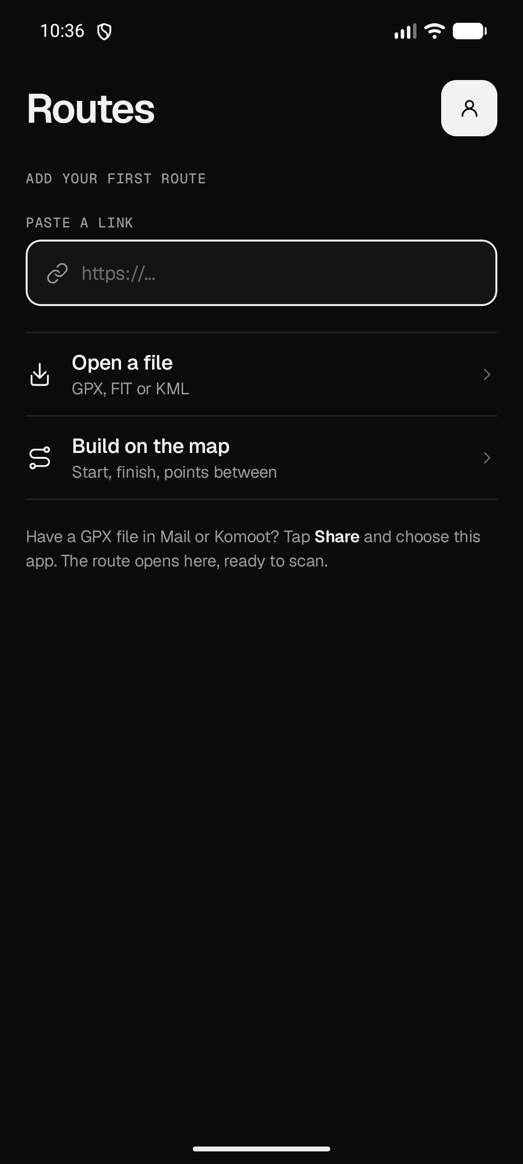
Open a GPX, FIT or KML file, paste a supported route link, or build start, finish and points between directly on the map.
 poi
poi
Import a GPX, FIT or KML file—or build a route on the map—then scan it for water, food and places to sleep.
poi keeps the route, its terrain and the places along it together—from the first import to the file you take to your device.
Open a GPX, FIT or KML file, paste a supported route link, or build start, finish and points between directly on the map.
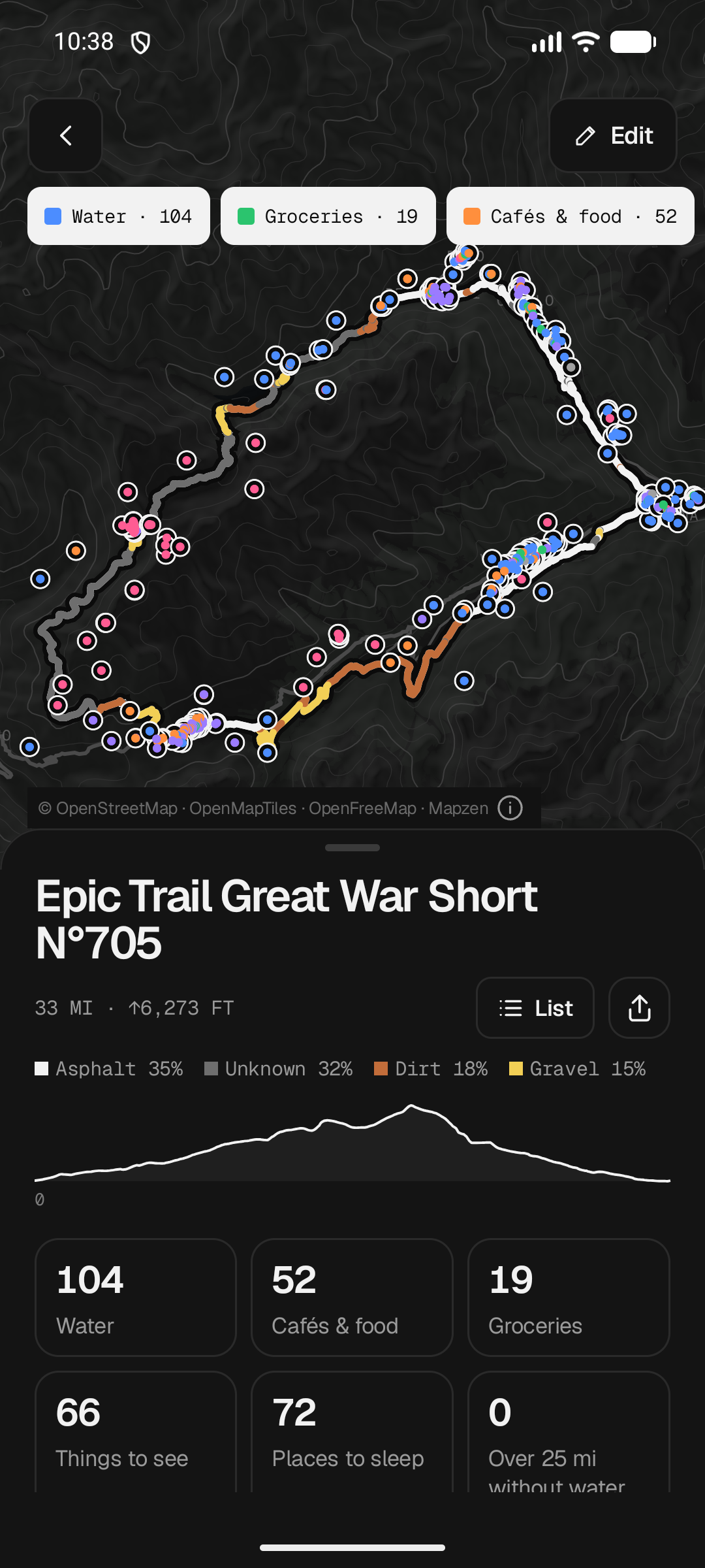
Scan a route for water, groceries, cafés and food, bike shops, toilets, sights, campsites, huts and hotels.
Review route distance, elevation and surface, then export a route for a Garmin or Wahoo device.
See how many places lie along the route, where they are, and how the ground changes before you set off.